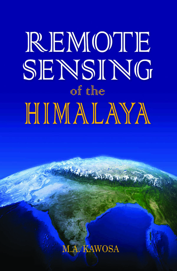
Remote sensing has long been an indispensable tool for the survey and mapping of natural resources. In India, its most significant applications include vegetation identification, geological mapping, and groundwater exploration.
Beginning with the fundamental principles of remote sensing, this book introduces image interpretation methods before examining techniques of data computation, evaluation, and their application to natural resource management.
Remote sensing has long been an indispensable tool for the survey and mapping of natural resources. In India, its most significant applications include vegetation identification, geological mapping, and groundwater exploration.
Beginning with the fundamental principles of remote sensing, this book introduces image interpretation methods before examining techniques of data computation, evaluation, and their application to natural resource management.
Reviews
There are no reviews yet.